It can be difficult trying to find information about what really happened on the Outer Banks in WWII. It’s certainly in our past now, a part of our national history that keeps retreating in time. Complicating the gathering of information, for some obscure reason, some of the material about the role the Outer Banks played was classified top secret until the mid-1990s.
Nonetheless, there is a fair amount of information about the role of the Outer Banks.
There are those things that have been widely reported and broadly known—-the horror of the shipping lanes the paralleled the Outer Banks coast, shipping lanes that were so well-known to German U-Boat captains that he area was known as Torpedo Alley.
There are other snippets of information that come up from time to time, and they tell the tale of how the US and its allies responded when war came so close to the shores of the country.
What emerges is a story of a country emerging from a peacetime footing and taking a little while to understand what would be necessary, but once it did, the response was quite effective.
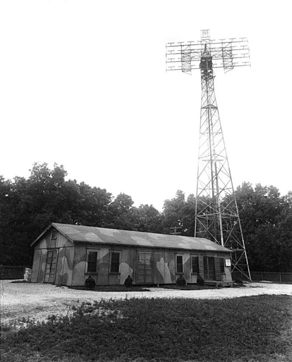
Kitty Hawk Radar Installation
From 1942 until 1945 there was a radar installation in Kitty Hawk. Perched on top of one of the highest points in the town, it was located on the hill that the Holy Redeemer Catholic Church on Kitty Hawk Road now occupies.

Residents who lived in Kitty Hawk at the time recall the installation was fenced in and a guardhouse was manned at all times. The Army, who staffed the installation, paved the road from what is now the Beach Road, which was paved in the 1930s by NCDOT. However, the installation sprawled across Kitty Hawk Road and residents had to pass through the gatehouse to get on the main road.
There doesn’t seem to be much specific information about the day to day work of the radar. There are reports from a few of the people that were living in the town at the time that the commander was a Captain Walters, but that cannot be confirmed.
We do know the radar was a SCR-270/SCR-271 which was cutting edge radar technology at the time with an effective range of 110 miles, depending on the altitude of the aircraft.
It’s unclear how many soldiers staffed the installation, although documentation about staffing for the SCR-270/SCR-271 radar would seem to indicate somewhere around 50 men.
What is a bit of a mystery is how it got here.
Delivered by six trucks, the total weight of the system was almost 51 tons. The Beach Road, which had just been reclassified as US 158 in 1941, could certainly deal with the trucks. What is unclear is how the Wright Memorial Bridge, which was a wooden structure barely adequate for car traffic could handle the weight.
The installation was dismantled in 1945.
Ocracoke Island
Here’s where the mystery comes in. For some reason, almost all information about the Navy’s activities on Ocracoke Island remained classified until the mid-1990s, long after everything was dismantled and all personnel left.
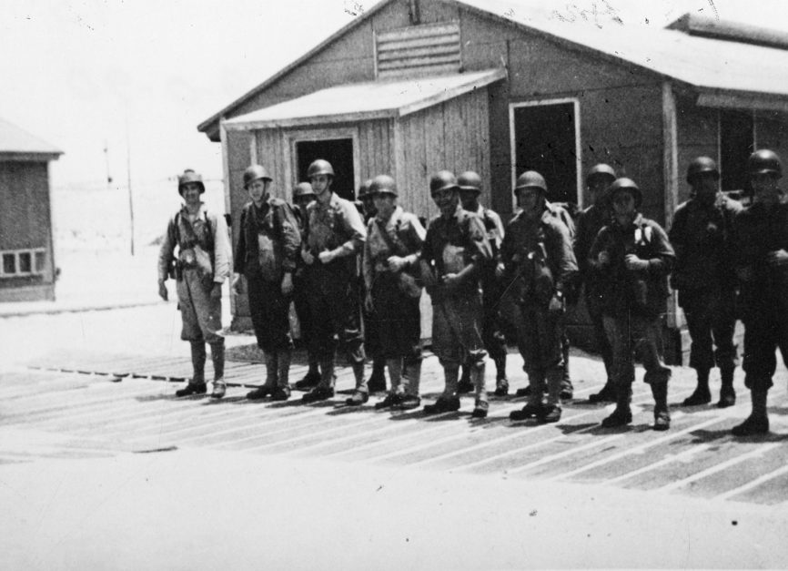
At one time, though, if the reports are accurate—and there are quite a number of them—up to 500 men and perhaps women of various branches of the service were stationed on Ocracoke Island.

About a mile northeast of town, Loop Shack Hill is one of the highest points on Ocracoke. During WWII there was a radar installation there, probably the SCR-270/SCR-271. Given its range, its signal would have interlocked with the Kitty Hawk radar.
There is very little mystery about how this would have been delivered. The Navy dredged Silver Lake and constructed piers to supply the island.
The Loop Shack Hill radar was not the only military activity on the island.
Evidently, the Navy had an ongoing top-secret project that allowed them to tap into German U-boat radio transmissions back to Germany, allowing the Allies to locate the submarines.
After the U-boat threat diminished, the Ocracoke became an amphibious warfare training base for the Beach Jumpers. Special warfare units, their job was to go in close to shore and confuse enemy forces into thinking either a landing was imminent or that they were a much larger force than the three or four fast-moving boats they used.
Active from 1943-1946 and reactivated 1951-1972, they were particularly effective in operations in the Mediterranean Sea.
Although the Coast Guard continues to maintain a base on Ocracoke, it’s unclear when all other military operations ended on Ocracoke.
