As Highways go, NC12 isn’t much for moving traffic quickly. Yet it would be hard to find a more picturesque road anywhere on the east coast, or one that travels through so much history.
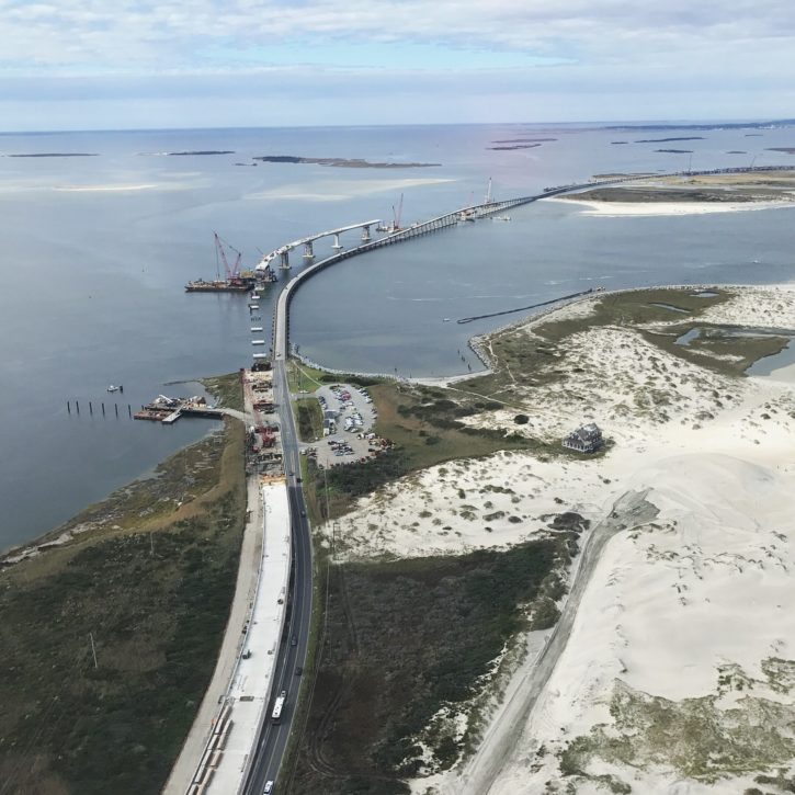
It’s also a very important road, as it is the only surface route that links all of the towns and villages of the Outer Banks. The Bonner Bridge gave it life. When the state completed the span over Oregon Inlet in 1964, it connected the transportation network of the northern Outer Banks with an existing state-maintained paved road on Hatteras Island.
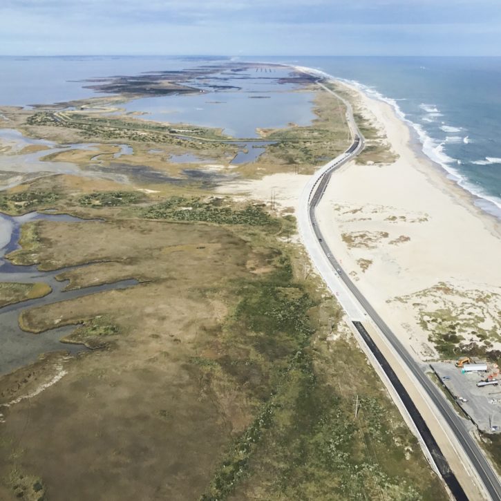
At first, NC 12 was only designated to Whalebone Junction in Nags Head—currently near Jennette’s Pier where US158 and 64 junction, but as development moved north, so did the road.
By the end of the 1970s, NC12 reached from Ocracoke to the north end of Duck, stopping at the Currituck County line.
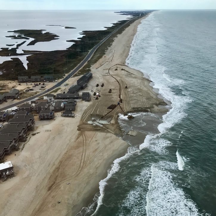
Extending the road into Currituck County took a while. From sea to sound, the Pine Island Hunt Club owned the land at the county line. The Club maintained a dirt road that gave access to Corolla. However, access was by permission only, and there were guards in the guard house.
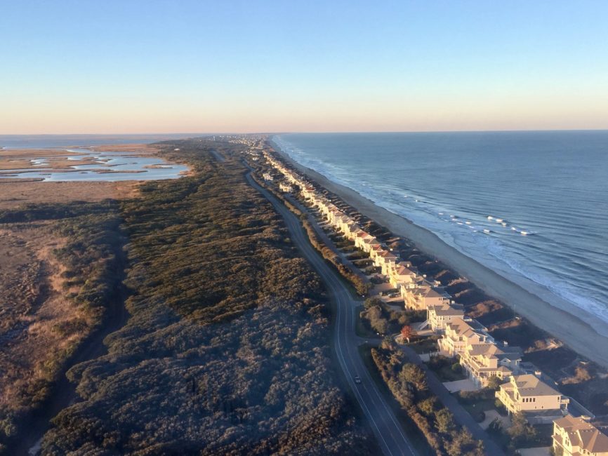
The dirt road is still there; it is the wide grass path just west of NC12 running north from the Sanderling to the Pine Island Racquet Club.
Eventually, a growing tourist population (and the traffic that came with it) made it almost inevitable that the state road needed to continue north to Corolla.
On October, 16, 1985 the Coastland Times reported, “Beginning November 1, the state will add a new road to its system of roads—an 11 mile stretch of now private road from Dare County to Corolla.”
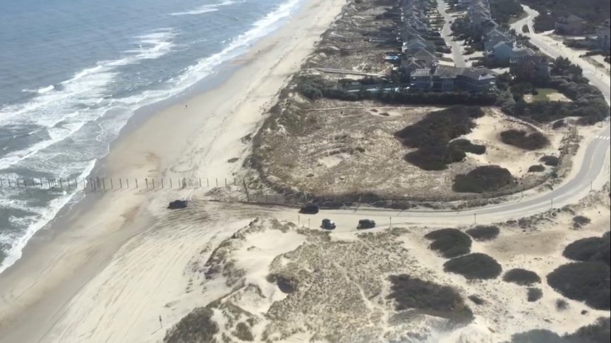
There was one stipulation on extending NC12 that the state imposed, a condition that has continued until today. Reporting on a meeting with NCDOT officials in September of 1984, the Coastland Times noted, “At least one of those conditions will likely create controversy: The DOT proposal that the road extend no further north than Corolla.”
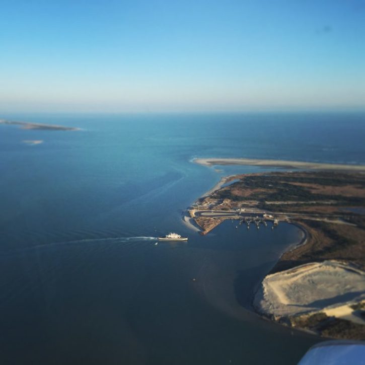
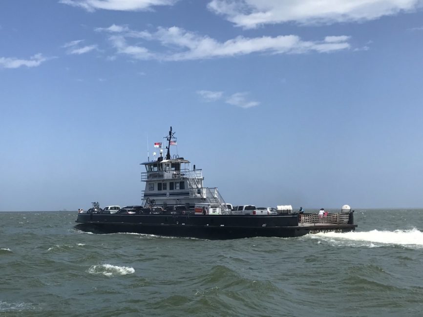
The official beginning and end of the highway is from Sea Level (a town in Carteret County) to Corolla, a distance of 148 miles. There are two ferries connecting portions of the road—the Hatteras/Ocracoke Ferry and Ocracoke Cedar Island Ferry.
Although development parallels much of the highway, there is still an original Outer Banks vibe surrounding it.
Just north of the Village of Corolla, the road passes through the Currituck Banks Estuarine Reserve, a remarkable, well-preserved swath of maritime forest. There are beach homes lining the ocean side of the road in Corolla, but on the sound side, south of the Currituck Club, the forest, wetland and grass are much as they were 100 years ago.
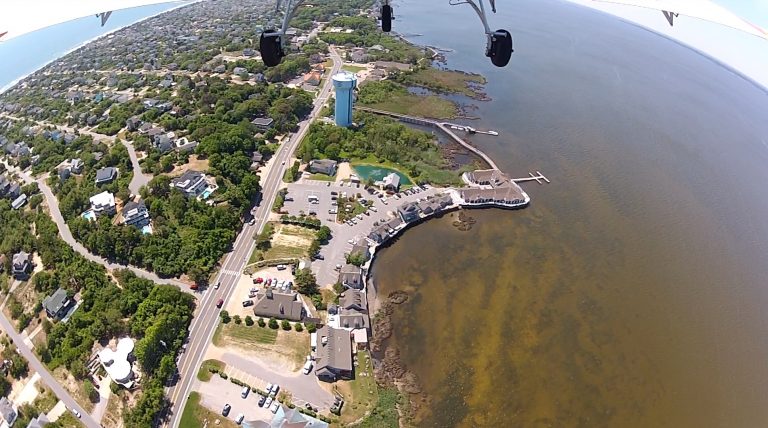
In Duck, (although the town has exploded with growth since the 1970’s) there are still a few of the original homes standing along the road. The Roadside Bar and Grill is one of the original village cottages.
In Southern Shores, the flattops Frank Stick designed for his vision of a family vacation home are still standing, a reminder of some of the Outer Bank’s original architecture.
And in the main towns of Kitty Hawk, Kill Devil Hills and Nags Head, there are so many reminders of a time go by. As the Outer Banks has grown in popularity, larger more modern homes have become an important part of how visitors are welcomed. But Johns’s Drive-in is still there in Kitty Hawk; piers, built 50 or 60 years ago, still wade into the sea, and the sound of the surf and smell of the ocean is still just yards away from the road.
