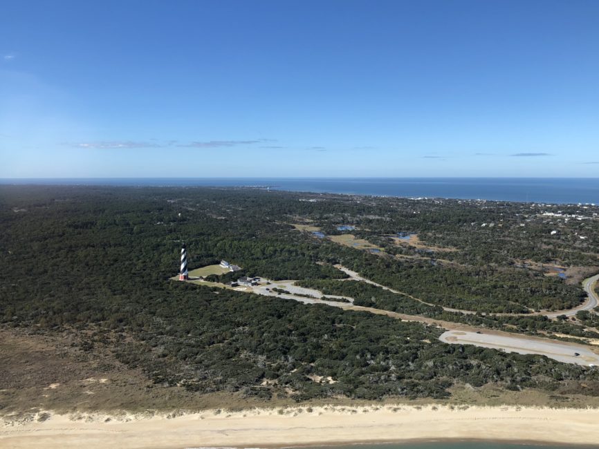
Buxton Woods on Hatteras Island is unlike any other maritime forest on the Outer Banks. To be sure, each of the maritime forests has its own unique characteristics, but Buxton Woods stands out with a world-class difference.

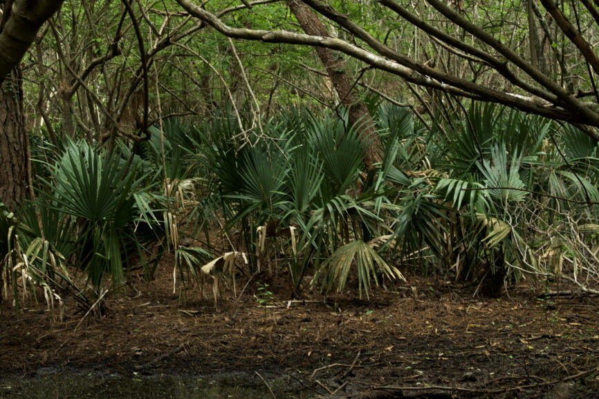
Situated at the confluence of semi-tropical and temperate temperature zones there is nothing else quite like it anywhere, and the vegetation reflects that. In the swamps and sedges dwarf palmetto thrive, often at the base of a towering loblolly pine tree.
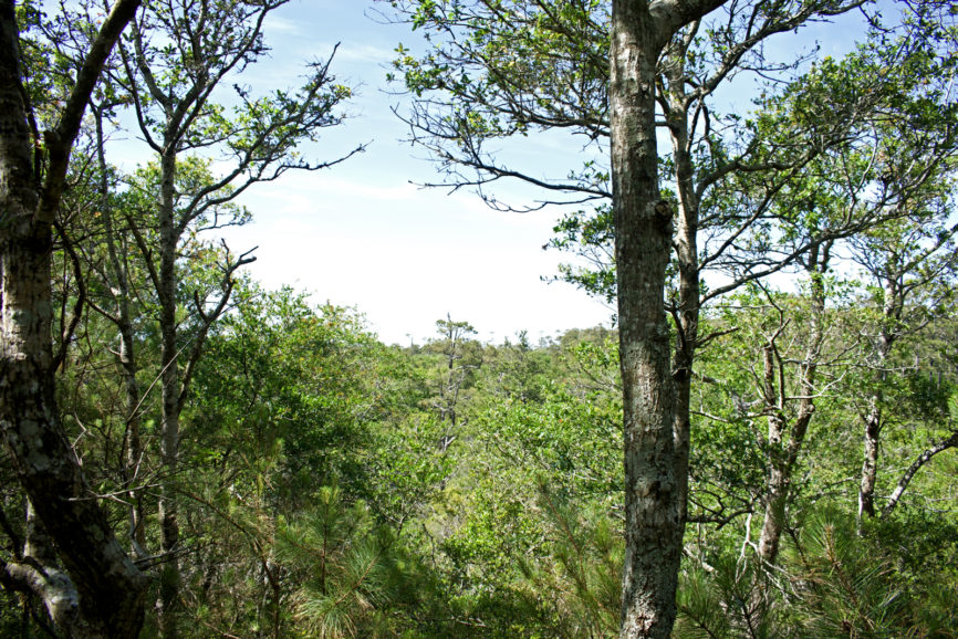
The trails of the preserve are at times surprisingly rugged, similar in many ways, to the Nags Head Woods trails. Like Nags Head Woods, Buxton Woods is comprised of a series of relict sand dunes, but here, at the widest part of the Outer Banks, the dunes run east and west, not north and south.

The hills often plunge to sedge and marsh, and in those locations the semitropical influence on the environment is apparent. Huge dwarf palmettos spread their fronds. But in contrast to the northern Outer Banks, temperate zone trees like sweet gum and red maple, trees that can tolerate high ground moisture, do not grow here. Without the hardwood trees in the sedge, the lowland takes on an almost jungle-like feel.
This is a great day trip for anyone visiting the northern Outer Banks. A little longer from Corolla—it will be about a two-hour drive—but otherwise very manageable.
The preserve is 1007 acres, but it abuts a protected area that the Dare County Water Association uses for supplying Hatteras Island with water. Combined with the Buxton Woods, it is the largest contiguous maritime forest tract on the Outer Banks. Some of the trails do go through the DCWA land.
There are a few things to know before visiting.
Parking is limited and can be a challenge.
Probably the easiest way into the reserve is Old Doctor’s Road off NC 12. Heading south on NC12, it’s a dirt road on the east (left) side of the road about a half-mile past Cape Hatteras Secondary School.
There is a map kiosk with a small parking area bout 20 yards into the road. After that, the road, as is the case for much of the reserve, is suitable for 4WD only.

However, Old Doctor’s road is a great easy hike for anyone looking to get out and stretch their legs.
Water Association Road also offers access. The road is a bumpy dirt track, but does not require 4WD. A small parking area at the end of the road is the trailhead for the North Trail and West Trail. The North Trail is surprisingly rugged, climbing steeply from the trailhead.
The North Trail is not a loop trail, but it does connect to other trails and follow paths and does not retrace your steps. Depending on what trails are used it will be anywhere from 2.5-4 miles. Take a look at the trail map.
The West Trail connects the North Trail with the Boundary Trail. It’s a short connecting trail that comes off a ridge, descends into the sedge. If there has been heavy rainfall, the West Trail will be impassable.
The West Trail, though, offers some of the largest most spectacular examples of dwarf palmetto, so if it’s open, take it.

Another road gives access to the reserve. Flowers Ridge Road is off Lighthouse Road, the National Park Service Road leading to Cape Hatteras Lighthouse. Access using Flower Ridge Road is a little confusing; there are some twists and turns, and the street gets renamed as it winds through a residential area. It does, though lead to a parking area and trailhead for the Lookout Loop Trail.
The roads that run throughout the reserve are great for mountain bikers. They are quite sandy, so if there has been a dry spell, they can be pretty challenging…but worth the effort.
A couple of things to think about when visiting.
- Take water. Some of the trails are fairly long, and especially in the summer, it gets hot.
- May through mid October, insect repellant is a necessity. Really year round. Because the reserve is on the north end of a semitropical zone, it does not get as cold as the northern Outer Banks. As a consequence, even in December, there may be some mosquitos and biting flies around.
- Hunting and fishing are allowed according to the N.C. Wildlife Resources Commission regulations. The site is part of the N.C. Game Lands Program. September-February
- Take a camera. Take lots of pictures. It’s beautiful.
